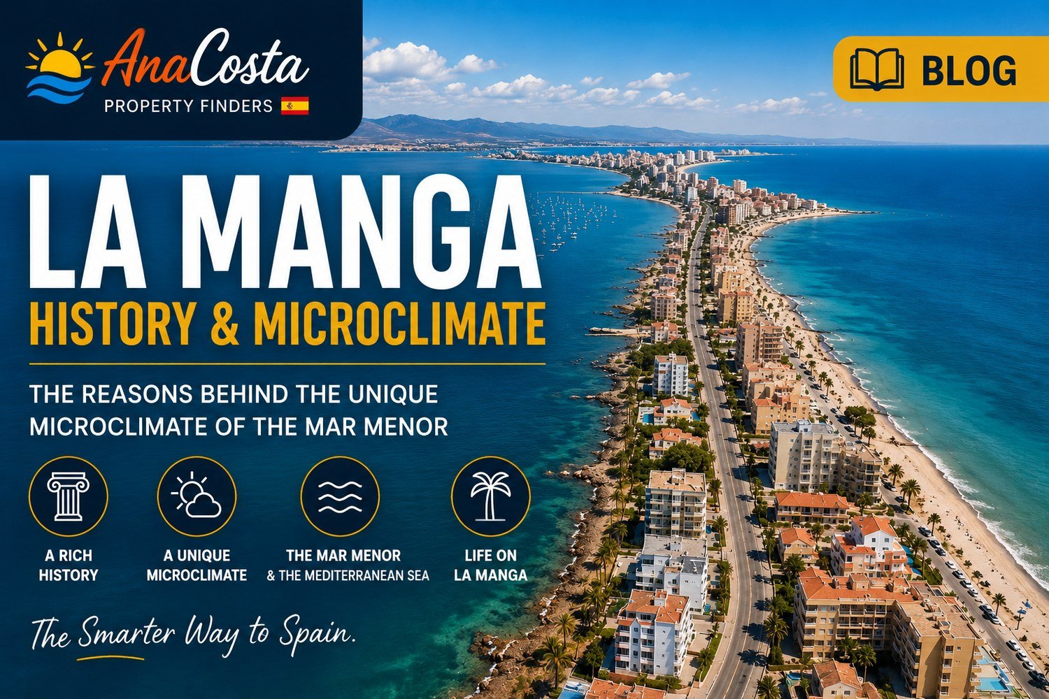
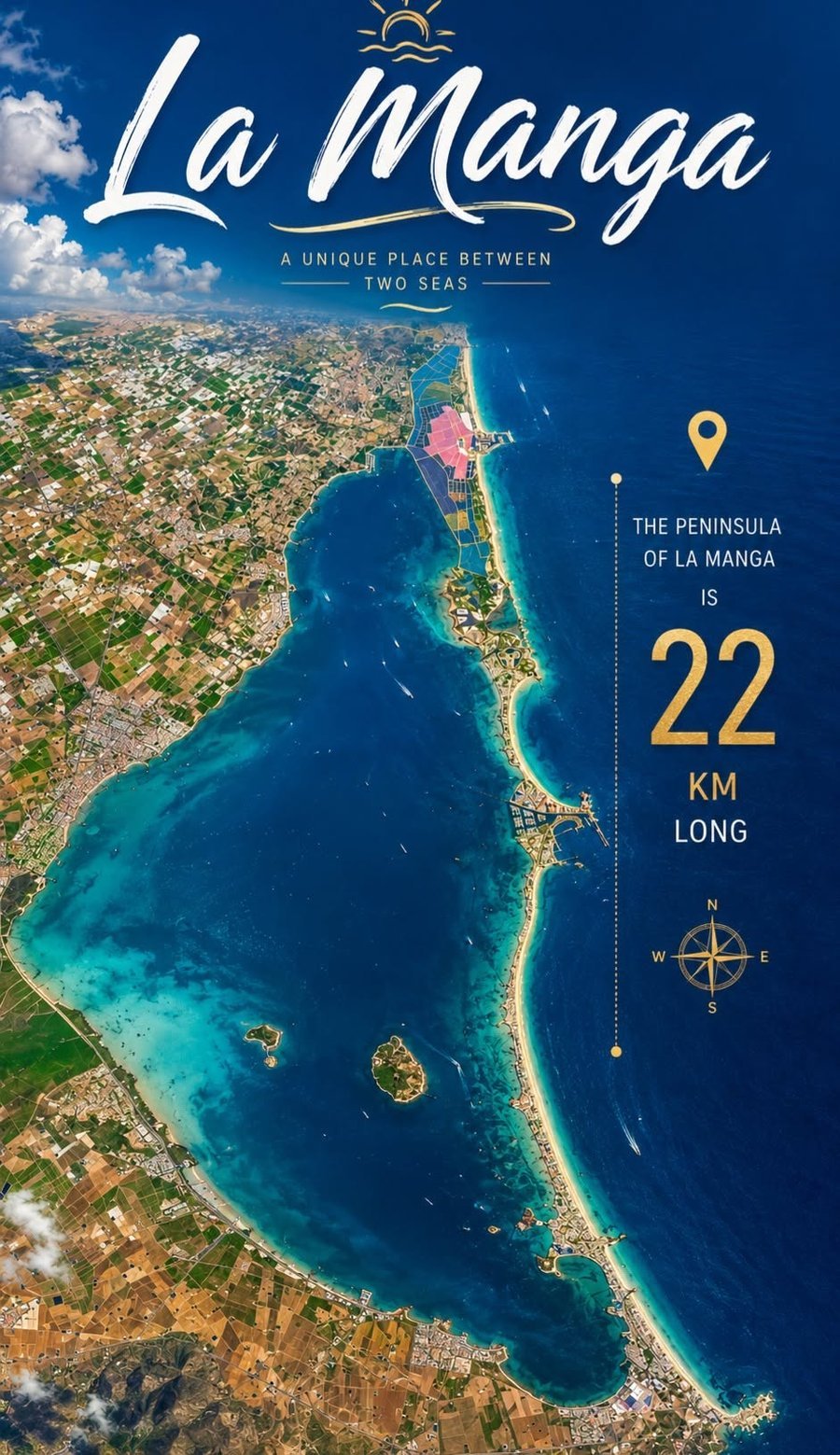
The Spanish state once sold La Manga del Mar Menor for barely 47 euros — and yet this 21-kilometre sandbar between two seas now ranks among Spain's most sought-after stretches of coast. Centuries of sand deposited by sea currents slowly built up the land between the Mar Menor and the Mediterranean; it wasn't until the twentieth century that it took on its current shape as a tourist destination. In this background guide we dive into how it formed, its remarkable history, the climate, and where to eat and go out here.
How did this remarkable sandbar form?
The name La Manga literally means "the sleeve" — a reference to the elongated, narrow shape of the strip. Geologically it's a sand spit: centuries of sand deposited by prevailing sea currents gradually built up a barrier between the coast and the open sea. What was once an open bay was thus sealed off into the shallow inland lagoon we know today as the Mar Menor ("the smaller sea"). Historically the water carried different names: the Romans called it Palus, later it was known as Mar Chico, before the current name became common.
Four natural breaks in the sandbar, the golas, still allow the water of both seas to meet — crucial for the water quality and the ecosystem of the lagoon. Administratively, La Manga is divided: the southern part, around Cabo de Palos, falls under the municipality of Cartagena; the northern part, towards Veneziola, under San Javier.
La Manga in numbers
Naturally formed, a centuries-old process
Sold for 47 euros: the human history
At least as remarkable as its geological origin is what happened to the sandbar afterwards. La Manga belonged to the Spanish state for centuries, until an expropriation law from 1855 cleared the way for its sale. On 10 January 1863 the untouched sandbar was publicly auctioned — and sold for 31,000 reales, worth barely 47 euros in today's terms. This is recorded in a recent information and environmental impact study by the Spanish Ministry of Environment on the Mar Menor.
31,000 reales — barely 47 euros — for one of the most valuable stretches of coast in Spain.
By the late nineteenth century the land had passed into the hands of the Maestre family. In the 1950s, patriarch Tomás Maestre Zapata managed the northern part, near the municipality of San Javier. In the south, near Cartagena, it was initially José Huertas who ran a fishery at the Salinas de Marchamalo — later taken over by mining entrepreneur José Celdrán.
The real turning point came in 1956, when Tomás Maestre Aznar, a nephew of the patriarch, began developing his plan to urbanise the north and south of the sandbar while preserving the original landscape in the middle. After years of legal proceedings and negotiations he acquired the whole of La Manga, and in 1961 development of his project began: La Manga was to become an exclusive, international tourist destination. He had the backing of both San Javier and Cartagena, but the decisive support came from Spain's Minister of Tourism, who visited the area in 1962 and granted permission for the sandbar to be included under the law on tourist interest zones — the basis for the large-scale development that followed.
A microclimate found nowhere else
What makes La Manga climatically special is the combination of two bodies of water with very different characters, right next to each other. The Mar Menor is shallow and warms up faster in summer than the open sea, while the Mediterranean on the other side stays cooler and fresher. That temperature difference, combined with the sheltered location, creates an exceptionally mild climate: mild winters, little rain, and more than 320 sunny days a year. For residents, that means a swimming season considerably longer than elsewhere on the Spanish coast.
Two seas with very different characters, within walking distance of each other — that's what makes the climate here unique in Europe.
Dining out and nightlife in La Manga
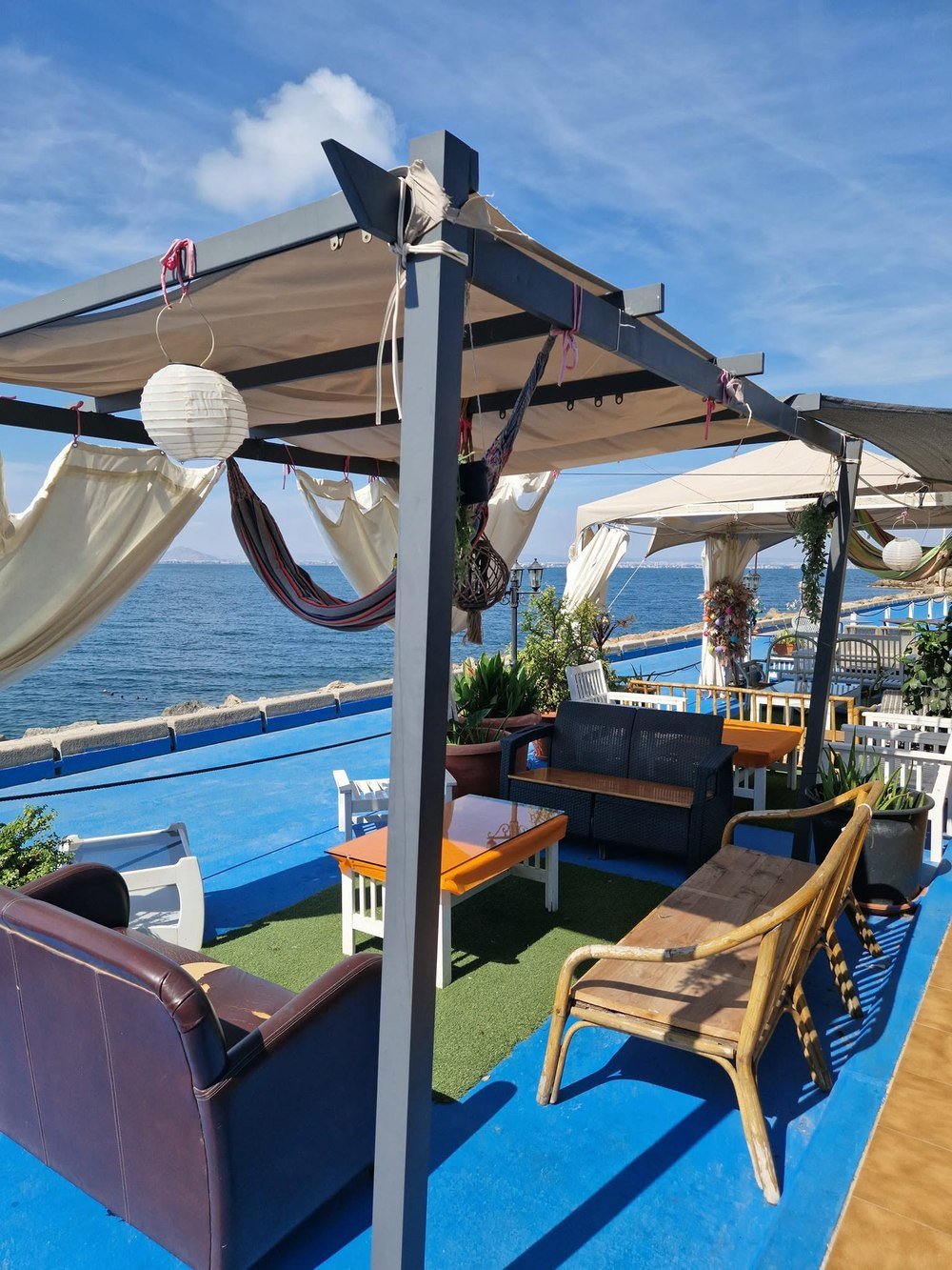
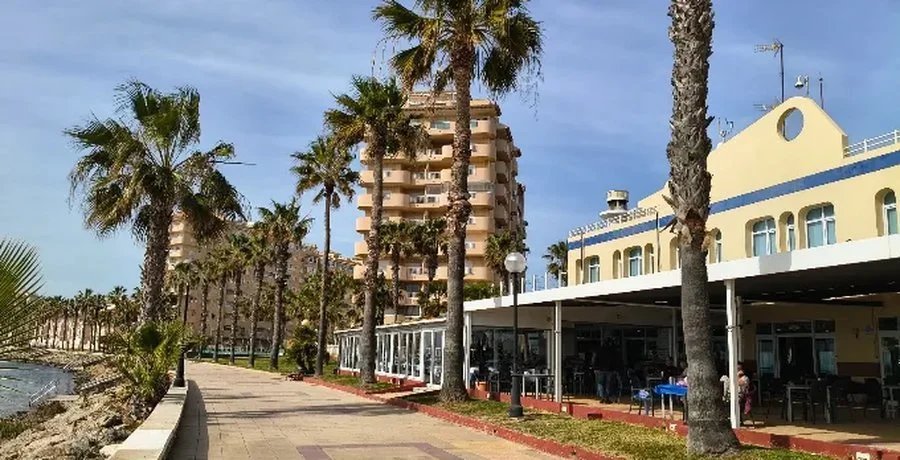
As soon as the sun sets, La Manga comes alive. Along the boulevards on either side of the Gran Vía you'll find countless chiringuitos — informal beach bars serving fresh fish, grilled squid and paella, often with your feet literally in the sand. In summer the evenings are busy: many Spanish families have a second home here, and you'll notice it in the offerings and the atmosphere on the terraces. Outside peak season things get considerably quieter, but the better restaurants and seafood spots overlooking the Mar Menor stay open year-round.
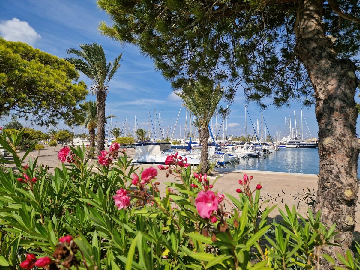
For something more active there's plenty of watersport: sailing, kitesurfing and paddleboarding are well established here, thanks to the calm water on the Mar Menor side and marinas such as Puerto Tomás Maestre. Want to know exactly what the two coastlines look like and which beaches suit you? Read our guide to the beaches of La Manga del Mar Menor.
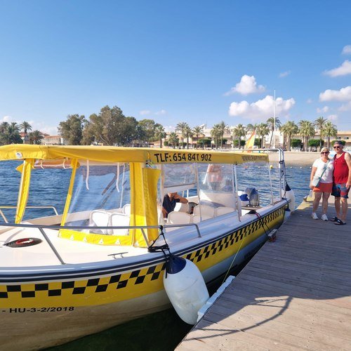
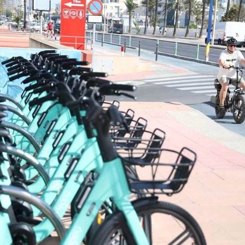
A practical tip: you don't necessarily need a car. From Santiago de la Ribera, on the other side of the Mar Menor, a scheduled ferry runs to Puerto Tomás Maestre in (peak) season — ask about current sailing times, as these vary by season. There's also a water taxi between the two towns, with a crossing of roughly 35 minutes and room for bicycles on board. Once on La Manga itself, you can also pick up an electric shared bike via the Hoppy app: find a bike, scan the QR code to unlock it, and ride — the service covers the stretch from Cabo de Palos to kilometre 4 of the sandbar.
Living in an area with this climate
For buyers, this is exactly why La Manga remains so appealing: a climate that delivers living pleasure all year round, not just in summer. Want to know what a property here costs and what to watch out for when buying? Our guide to buying a property on La Manga covers that in more depth. And right now we have a penthouse in Playa Príncipe among our Selections, with its own private solarium of 66.70 m² — the perfect spot to enjoy that microclimate all year round.
La Manga in pictures
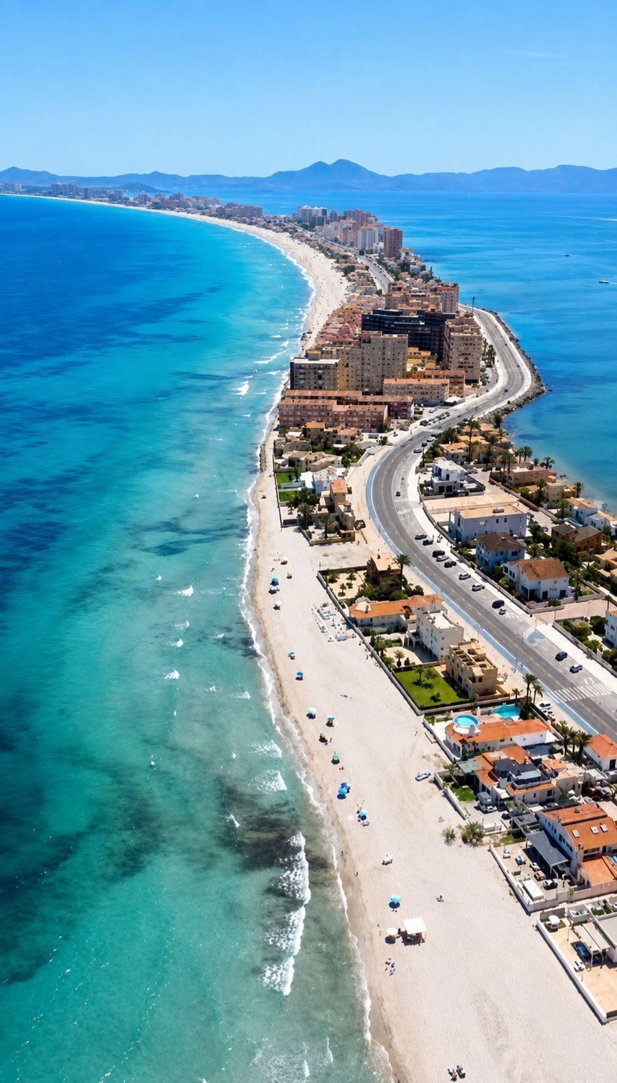
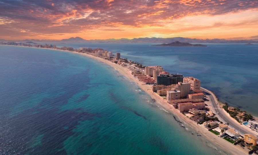
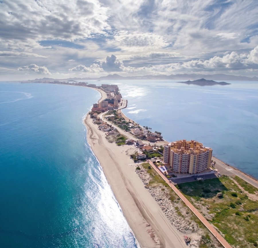
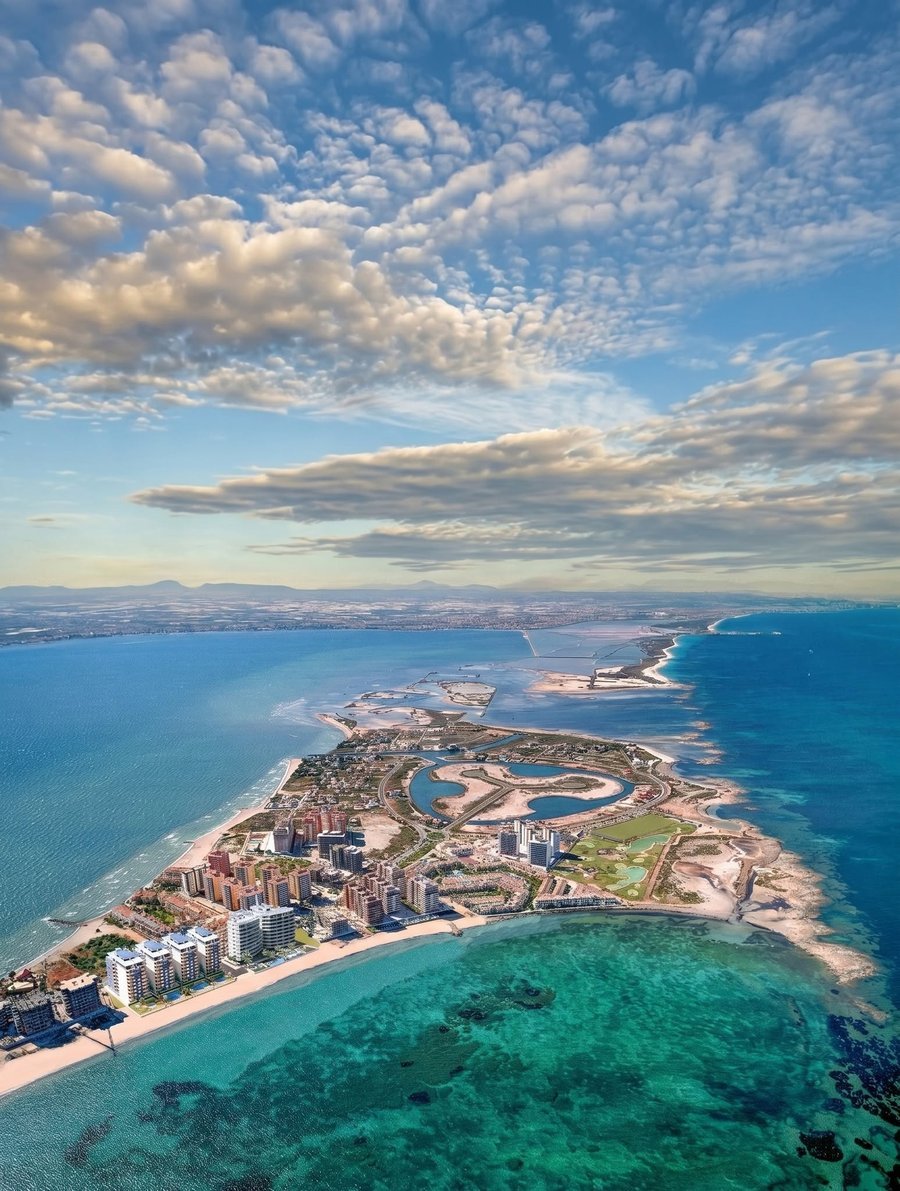
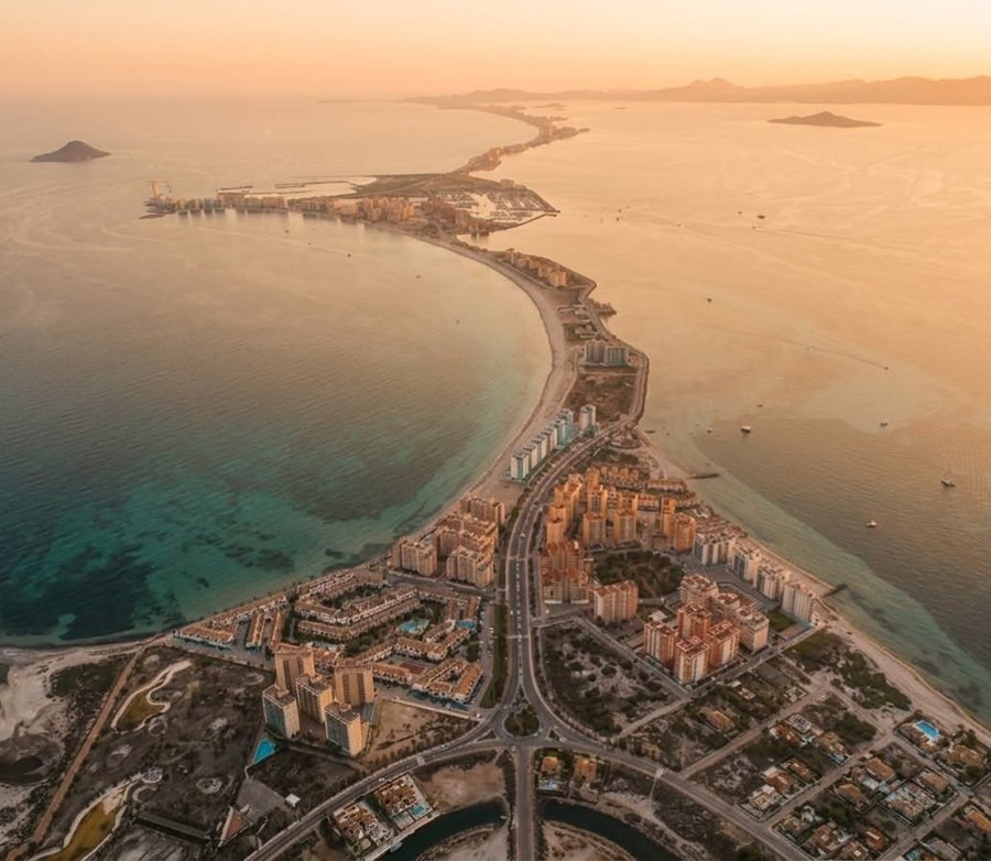
The sandbar seen from above, and up close on the boulevard — a few images that show exactly why people fall in love with this place.
Frequently asked questions
How did La Manga del Mar Menor form?
Why is the microclimate of La Manga and the Mar Menor so special?
Where's the best place to eat out in La Manga del Mar Menor?
Is it true that La Manga was once sold for 47 euros?
Curious about living on La Manga?
We know the sandbar from kilometre 0 to Veneziola — from the climate and the seasons to the best places to eat and to live. And we work exclusively in the interest of you, the buyer.